Published:
Photos posted on X, formerly known as X (formerly known as Twitter), could help researchers improve flood models, according to a report from Heriot-Watt University.
Flood modelling is used by governments, responders, civil engineers, insurers and others to try to predict when and where flooding could happen and its potential impacts.
Dr Grant Wright, an associate professor in civil engineering at Heriot-Watt University in Edinburgh, says that photos from social media could help build better flood models around the world.
Wright said: “The great thing about social media is that it's geographically spread and there's a lot of data available.
“We're working out how to use people's photos to extract data and improve flood models. X, or X (formerly known as Twitter) as it used to be known, is where people tend to post photos of events like floods. It's also the easiest social media platform from which to extract data.
“Flood modelling is essential, but the complexity of the real world means we have to estimate certain values, like surface roughness, and we have to simplify some process representation.
“These factors mean that, while our predictions should start off well, they can start to veer off from reality as time passes; this is obviously not ideal.
“If we can incorporate data from points of interest, we can stop the model at discrete points to knock it back on track. That should help improve our flood predictions.
Wright and the team used floods from 2016, 2017 and 2018 in Thailand to test out whether they could use photos from X (formerly known as Twitter) users to inform and test out a new flood model for the area.
The team started with thousands of images and whittled them down to 192, discarding duplicates and those deemed to be low quality.
Wright said: “We proved that X (formerly known as Twitter) images could reduce model uncertainty, helping improve model predictions. The method could be used on any flood around the world - all we need are the images and a few key bits of information.
“People should never put themselves in danger, but there are a few things they can do to make their photos more useful to flooding researchers.
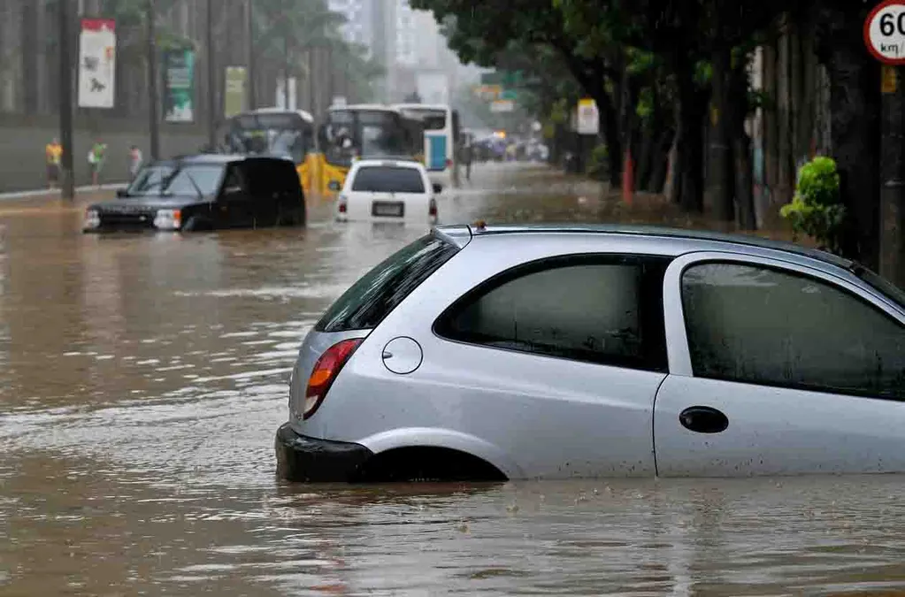
“Firstly - turning on the geotag. Secondly, if you can go back and take a photo from the same location 30 minutes later, that's really helpful too. Thirdly, if you can try to include a bit of infrastructure for scale that's great. Car tyres are a handy tool to show us how high flood waters are running, for example.”
Wright says improving flood modelling could help save lives and prevent costly damage to civil infrastructure.
“Better models mean we can target our resources more effectively and help mitigate the impact of floods. They can be fatal and have a huge impact on society in the UK and around the world.
“The simple act of putting a few geotagged photos on X-slash-X (formerly known as Twitter) could help researchers around the world improve flood models, whether they're in Newcastle, New Orleans or Nigeria.”
Wright and his team reported their work in the Journal of Hydrology.