Ancient Hebridean salt marsh reveals 2,500 years of sea-level change
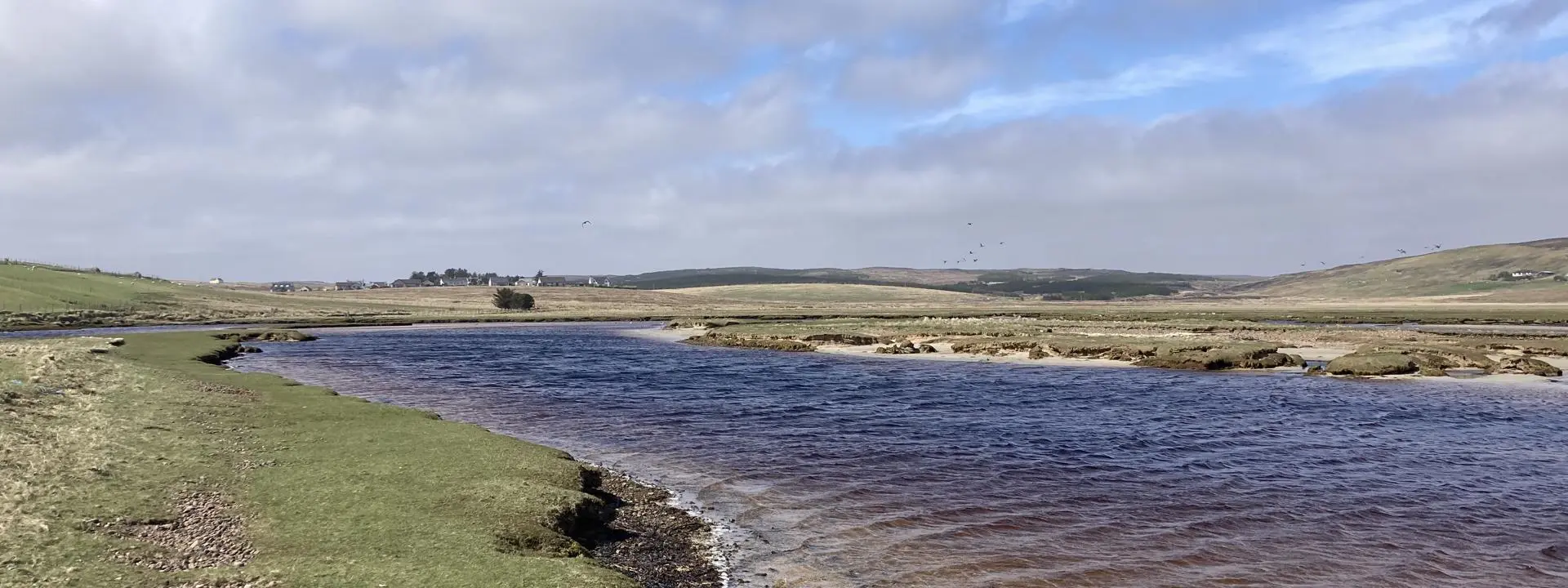
Scientists searching for evidence of one of Europe's most dramatic prehistoric tsunamis have instead uncovered one of the longest continuous records of sea-level change found in northwest Scotland.
Heriot-Watt and University of Dundee researchers investigating a salt marsh on the Isle of Lewis had hoped to find deposits left by the Storegga tsunami, a massive wave triggered by an underwater landslide off Norway around 8,200 years ago.
Although that evidence proved elusive, they found something equally valuable: 2,500 years of geological history, preserved less than two metres beneath the surface, recording how sea levels have changed since around 500 BC.
The findings were published in academic journal The Holocene.
It’s amazing to get a snapshot of what the environment was like so far back in time, when the Persian empire was at its greatest extent and the Roman Republic was just getting started.
Dr Uisdean Nicholson
Sedimentary Geologist from Heriot-Watt's School of Energy, Geoscience, Infrastructure and Society
Scottish coastlines changing over time
The scientists say their findings provide one of the most detailed records yet of how Scotland's coastlines have responded to shifting climates and changes in the elevation of the land since the end of the last Ice Age.
Dr Uisdean Nicholson, a sedimentary geologist from Heriot-Watt's School of Energy, Geoscience, Infrastructure and Society, said: "Salt marshes are incredibly sensitive to changes in sea level, so they preserve a detailed history of how coastlines evolve over time.
“And this one at Gress turned out to hold an almost unbroken record of the past 2,500 years.
"It’s amazing to get a snapshot of what the environment was like so far back in time, when the Persian empire was at its greatest extent and the Roman Republic was just getting started.”
Dr Nicholson and colleagues from the University of Dundee, University of Leeds and Nanyang Technological University in Singapore analysed sediment cores taken from the marsh at Gress, on the east coast of Lewis.
They examined the microscopic algae and ancient plant remains layer by layer.
Professor Sue Dawson, an expert on geohazards from Geography at the University of Dundee, said: “This painstaking work gives us an understanding of the way the rising and falling sea level has influenced the vegetation and the algae that grow and live in our coastal environments, which helps to unlock the sea level story."
The sediment indicates that relative sea level at Gress has risen by around 1.2 metres over the past 2,500 years, with the rate of rise beginning to accelerate slightly around AD 950.
Professor Natasha Barlow, a coastal consultant at Haskoning, said, “Our results show that there is little or no ongoing land uplift following the melting of the British Irish ice sheet around 20,000 years ago on Lewis.
“Rather, sea level rise over the last 2,000 years is due to ongoing ice melt and warming of the ocean.”
Dr Nicholson said: "The tidal gauge at Stornoway Harbour is already showing that sea level is rising faster in recent decades.
“The salt marsh is highly sensitive to these changes, so it is likely that such environments will change dramatically in the coming decades, as the rate of sea-level rise increases.”
The research fills a gap in northwest Scotland's sea level data and will help refine future predictions for the region's coastline.
Dr Nicholson said: "There are many other salt marshes across the Hebrides and around the Scottish coast that have barely been studied.
“They're extraordinary natural archives, and there’s still a chance one of them is old enough to have preserved evidence of the Storegga tsunami.”
This work was primarily supported by the Nanyang Technological University’s CN Yang Scholars Programme (Nanyang Scholarship), the Singapore Ministry of Education Academic Research Fund grants MOE2019-T3-1-004 and RG158/24. U.N, Natasha L.M.B and S.D were partly funded by NERC through the Discipline Hopping for Environmental Solutions Fund.