Japan Trench geology confirmed as key driver of 2011 megaquake
Geologists from Heriot-Watt are part of an international research team that has confirmed why the 2011 Tōhoku earthquake off northeast Japan behaved in such an extreme and destructive way.
The study, published in Science, provides the clearest evidence yet that a thin, clay-rich layer just beneath the seabed at the Japan Trench played a central role in allowing the magnitude 9.0 earthquake to rupture all the way to the surface.
The clay, which has very little frictional resistance, allows the rupture to propagate all the way to the seabed rather than the energy dissipating below the surface.
That shallow slip displaced vast areas of the seafloor, generating the tsunami that killed over 18,000 people, devastated coastal communities and triggered the Fukushima Daiichi nuclear disaster.
Patrick Fulton, co-author of the study and based at Cornell University in the USA, said: “This work helps explain why the 2011 earthquake behaved so differently from what many of our models predicted.
“By seeing exactly how the fault zone is constructed, we can better understand where slip is likely to concentrate and how much tsunami potential a given subduction zone might have.”
Drilling into the clay layer of the Japan Trench
Scientists have long suspected that weak, clay-rich sediments influenced the behaviour of the 2011 event.
The new research confirms this idea by directly sampling the fault zone and showing how the fault is localised in the clay layer, and why it is so effective at concentrating slip.
Dr Uisdean Nicholson, a sedimentary geologist in Heriot-Watt's School of Energy, Geoscience, Infrastructure and Society, said: “We knew from earlier studies that there was weak clay near the fault zone, but previous drilling records were patchy, with limited core recovery.
"The exceptional results from this expedition, with complete cores and geophysical data from multiple drilling sites, let us see exactly what the relationship is between that material and the fault.
“What we find is an exceptionally weak layer that contains direct evidence of extreme shearing at the main plate boundary.
“The clay, which has very little frictional resistance, allows the rupture to propagate all the way to the seabed rather than the energy dissipating below the surface .
“That led to this enormous amount of movement of the seabed, which pushed the water up in turn, resulting in this devastating tsunami.”
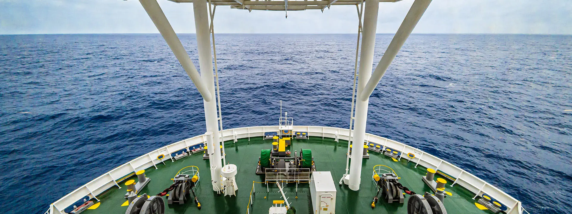
The results are based on data collected during International Ocean Discovery Program Expedition 405, known as JTRACK, which in 2024 drilled directly through the plate boundary fault using the Japanese deep-sea research vessel Chikyū.
The expedition achieved the deepest scientific ocean drilling ever completed, reaching almost eight kilometres beneath the sea surface.
Ultimately, our goal is to translate this kind of detailed fault zone knowledge into better assessments of earthquake and tsunami hazards for coastal communities around the world.
Analysis of core samples shows that the plate boundary is localised in a thin layer of pelagic clay, which varies between a few metres and up to 30 metres in thickness, formed from microscopic particles that settled slowly on the ocean floor over millions of years. Stronger sediments above and below this layer create a sharp mechanical contrast.
Amy Gough, also a sedimentologist from Heriot-Watt, participated in the expedition and said: “From a sedimentological perspective, this is a unique recipe for localising deformation.
“The fault is not spread out over tens or hundreds of metres. It is concentrated into a very thin zone that makes it much easier for large earthquakes to keep going all the way to the seabed.”
Thin layer enabled extreme motion
Most large subduction zone earthquakes release their greatest slip at depth, with movement diminishing towards the surface. The 2011 earthquake behaved differently, with slip increasing as the rupture approached the trench, moving the seabed by up to 70 metres in a matter of seconds.
Earlier explanations struggled to reconcile this behaviour with the idea that shallow sediments are too soft to host major slip.
The new findings confirm that it is precisely the weakness of this thin clay layer that enables such extreme motion.
Uisdean said: “This is not a broad, chaotic fault. Most of the slip is focused on a single, sharp interface, and that fundamentally changes how earthquakes propagate.
"Even though there are complex structures down at the plate boundary, the weak clay lubricates the entire fault and allows this catastrophic shallow failure”
The same pelagic clay layer extends along much of the Japan Trench, suggesting that the geological conditions that contributed to the 2011 disaster feature well beyond the area that has already ruptured.
Uisdean said: “That does not mean every future earthquake will break through to the seabed.
“But it does confirm that the potential for large, shallow slip exists along the margin, which is critical information for tsunami hazard assessment.”
Better assessment of tsunami hazards
While the findings do not allow scientists to predict future earthquakes, the researchers say they represent an important step towards more realistic models of how megathrust faults behave.
Patrick Fulton said: “Ultimately, our goal is to translate this kind of detailed fault zone knowledge into better assessments of earthquake and tsunami hazards for coastal communities around the world.”
The publication of the study coincides with the release of a 30-minute documentary following the JTRACK expedition, which spent 105 days at sea drilling, recovering core samples and installing long-term observatories within the fault zone.
Further data from the expedition will be released through the International Ocean Discovery Program.
Image credit: ScienceMedia.nl